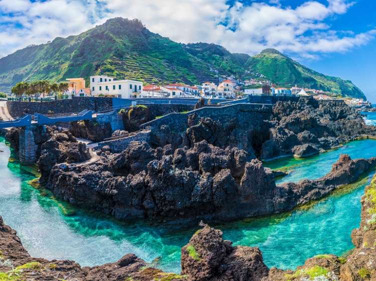
The Canary Islands in the Atlantic Ocean, better known for their black- and white-sand beaches, are a Spanish holiday paradise and just 60 miles off the Moroccan coast. A sand storm carrying clouds of red sand from the Sahara has hit the Canary Islands, prompting administration to issue an emergency alert and asking tourists and locals to stay indoors with windows closed.

On Saturday evening Spain suspended all flights in and out of Gran Canaria and all flights leaving Tenerife in the midst of severely reduced visibility.
According to a spokesperson from Spanish airport operator AENA, at least 19 flights to Gran Canaria were diverted or cancelled, though all affected airlines were not listed.
The air travel suspension of Saturday has until now hit nearly 230 arrivals and departures, as reported.
Spanish budget carrier Vueling also advised its passengers to check the status of flights before heading to airport as some services affected due to storms.
Spain’s national meteorology department warned that winds of up to 75 mph (120 kph) are likely to hit the Canaries until Monday. Gran Canaria, Fuerteventura and Lanzarote are expected to be the worst hit.
Authorities in Lanzarote’s capital Arrecife, canceled all outdoor activities,that includes some carnival celebrations as well.
The map here provides an general idea of all the gale and storm warnings for Canary Islands as well as useful weather advices. On the graphic it is shown at which locations of Canary Islands gale or storm, heavy rain, heavy snow, thunderstorm or freezing rain are imminent. Additionally, the map indicates the areas where extreme temperatures or icy roads / glazed frost have to be reckoned with.
The weather warnings are categorized into three levels.The orange warning level stands for a (upcoming) moderate severe weather event where as the red warning level for a strong severe weather event and the violet, top warning level for an extremely strong severe weather event in Canary Islands.

